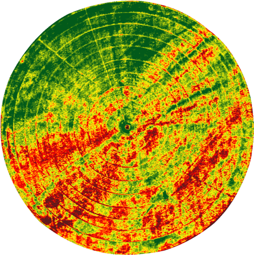
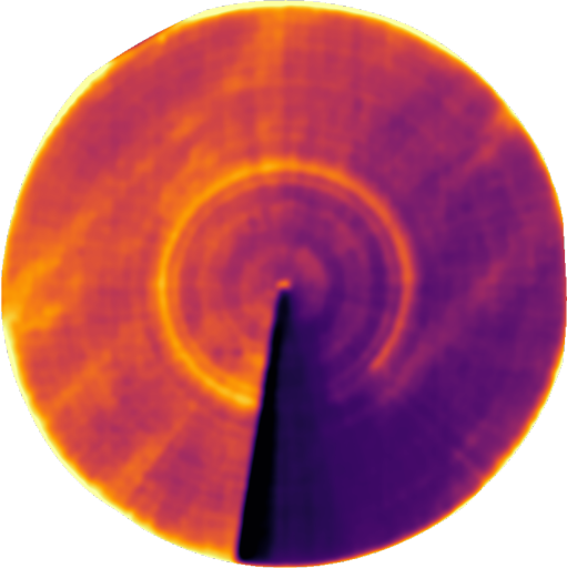
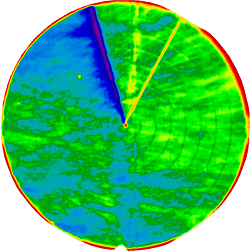
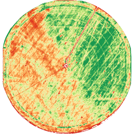
Aerial Photography
More and more operations are turning to aerial imagery to manage complex irrigation systems more efficiently. But not all aerial imagery offers the level of precision needed to capture information you can actually use in the field. Professional Ag Services, Inc has partnered with Ceres Imaging to provide aerial photography services to our growers.
From research partnerships to the industry's most precise thermal cameras, Ceres Imaging is uniquely equipped to provide actionable insights on irrigation—whether identifying pressure issues or optimizing system design for variations in soil and terrain.
Use Ceres Imaging for:
- Issue detection: Pinpoint clogs and leaks—before they impact your crop.
- Distribution uniformity: Identify and address overwatering and underwatering.
- Irrigation strategy: Optimize system design and scheduling for terrain and soil conditions.